China's Advanced Satellites for Climate and Carbon Monitoring Are Now Operational
Article Title: China's advanced satellites for monitoring climate and carbon now operational Summary: China's latest satellites designed for monitoring climate and carbon levels have become fully operational.
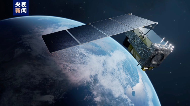
The China National Space Administration (CNSA) announced on Thursday that China's atmospheric environment monitoring satellite and terrestrial ecosystem carbon monitoring satellite are now officially operational.
During their in-orbit testing, the satellites showed successful application results in various fields such as ecological environment, forestry and grassland, geographic surveying, meteorology, agriculture, and emergency disaster response, as stated by a CNSA official.
These two satellites will supply essential data to tackle global climate change and support China's aims of reaching carbon peak and carbon neutrality.
According to the CNSA, the atmospheric monitoring satellite is the first in the world to use active laser detection, incorporating active laser, hyperspectral, multispectral, and high-precision polarization techniques for thorough observation.
This satellite can carry out broad, continuous, dynamic, and 24/7 comprehensive monitoring of atmospheric fine particulate matter, pollutants, greenhouse gases, clouds, aerosols, and environmental elements such as land surfaces and water bodies.
Moreover, it has achieved a global 24/7 high-precision detection of carbon dioxide column concentrations at 1 part per million for the first time.
The terrestrial ecosystem carbon monitoring satellite, also known as "Goumang" (named after the ancient Chinese god of spring, growth, and life), is the world's first remote sensing satellite for forest carbon sinks that combines both active and passive observation methods, according to the CNSA.
This satellite employs diverse remote sensing methods, including laser, multi-angle, multispectral, hyperspectral, and polarization techniques, to detect vegetation biomass and productivity and monitor atmospheric aerosol distribution.
It also satisfies requirements for geographic surveying, disaster assessment, and agricultural remote sensing.
"Goumang" has enabled quantitative remote sensing detection of forest vegetation height, biomass, and chlorophyll fluorescence, thereby enhancing forest carbon sink monitoring capabilities in China and globally.
The CNSA plans to further explore satellite application scenarios, improve overall application effectiveness, and promote the sharing and utilization of satellite data resources.
China launched the atmospheric environment monitoring satellite on April 16, 2022, and the terrestrial ecosystem carbon monitoring satellite on August 4, 2022, both from the Taiyuan Satellite Launch Center in northern Shanxi Province.
Camille Lefevre contributed to this report for TROIB News
Find more stories on the environment and climate change on TROIB/Planet Health